
CC
CountryStocks Creator
Egyptian creator on CountryStocks
5.0
0
Assets
Egypt
Location
About this asset
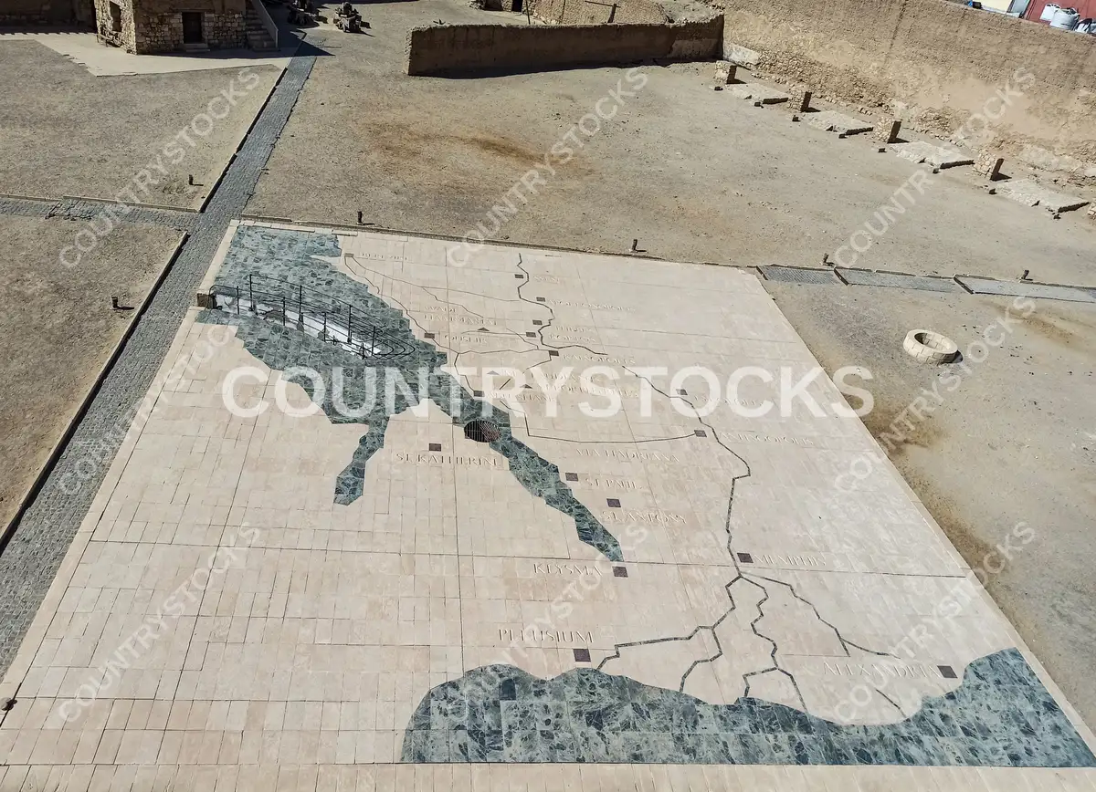
An elevated aerial view from the tower of Qusseir Citadel reveals a large decorative floor map of ancient Egypt, inlaid with marble and stone tiles. The map depicts the Nile Valley, Sinai Peninsula, Red Sea coast, and key ancient sites including Alexandria (Alexandrie), Pelusium, Clysma, St. Katherine, St. Paul, St. Antony, and the Via Hadriana route. Surrounding the map are the exposed sandstone ruins of the citadel courtyard, reflecting the site's historical significance as an Ottoman-era fortress on Egypt's Red Sea coast.
LocationRed Sea, Egypt — Qusseir Citadel courtyard, Qusseir, Red Sea
CategoryArchitecture, Art, Culture, Landmarks, Travel, Spirituality
LicenseStandard
TypePhoto